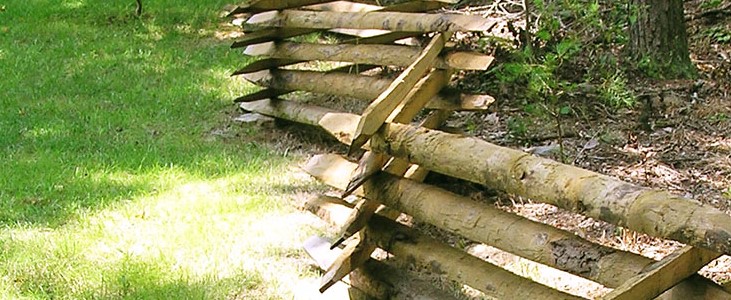
54. Irregular boundaries
Irregular boundaries refer to property lines that do not follow simple, straight, or uniform shapes. These boundaries can be curved, jagged, or have multiple angles and can arise due to historical land divisions, natural features, or specific land use agreements.
Identifying irregular boundaries
Legal descriptions | Irregular boundaries are often detailed in legal documents with complex descriptions:
|
Land surveys | A professional land survey is the most reliable method to identify and document irregular boundaries:
|
Land Registry records | Official records may include:
|
Indicating ownership by written description
Advantages
Can provide detailed narrative descriptions that include measurements, angles, and reference points.
Useful for legal documents and contracts where precise language is required.
Disadvantages
Can be complex and difficult to interpret without a professional background.
May lead to disputes if not clearly understood or if ambiguous.
Indicating ownership by reference to a plan
Advantages
Visual representation is easier to understand and interpret.
Provides a clear and precise depiction of the property boundaries.
Reduces the likelihood of misunderstandings or disputes over boundary lines.
Disadvantages
Requires a professionally prepared survey or map.
May need to be regularly updated to reflect any changes or developments.
Recommendations
Use a combination of written descriptions and detailed plans. Written descriptions provide legal detail, while plans offer visual clarity.
Ensure both the written description and plan are included in legal documents to provide comprehensive boundary information.
Professional land survey
Commission a professional land survey to obtain an accurate and up-to-date map of the property boundaries.
The surveyor’s report should include both a detailed written description and a corresponding plan.
Updating records
Regularly update land registry records and cadastral maps to reflect any changes or adjustments to the boundaries.
Ensure that any boundary agreements or changes are officially recorded and documented.
Example of documentation
Written description
“Starting from the marked iron stake at the northeast corner, proceeding south 45 degrees west for 150 feet to the old oak tree, then west 30 degrees north for 200 feet to the stone wall, following the stone wall north 50 degrees east for 100 feet to the edge of the creek, and following the meandering path of the creek back to the starting point.”
Reference to a plan
A professionally drawn survey plan that visually shows the points described in the written description, including the marked iron stake, the oak tree, the stone wall, and the creek.
Irregular boundaries require careful documentation to ensure clarity and prevent disputes. The best practice is to combine written descriptions with detailed survey plans to provide both legal precision and visual clarity. Professional land surveys and regularly updated land registry records are essential for maintaining accurate boundary information. By following these guidelines, property owners can clearly define and protect their property boundaries.

