
56. Overhangs and projections
To determine whether any part of your property or its buildings overhang or project under the boundary of a neighbouring property or road, you can take several steps.
Review property and building plans | Start by examining the architectural drawings of your property. These detailed plans, which should show the exact dimensions and placements of all structures, can be obtained from the builder, your personal records, or the local planning authority where the building permits were filed. Pay special attention to any notes or markings indicating the edges of structures relative to the property boundaries. Survey plans, which offer a precise map of your property, are also invaluable. These plans highlight the boundaries and the location of all structures, making it easier to spot any potential overhangs or projections. |
Conduct a professional land survey | Hiring a professional surveyor is one of the most reliable ways to identify any overhangs or projections. A boundary survey will map your property lines precisely and highlight any structures that extend beyond these lines. Additionally, a structural survey can specifically assess the placement of features like eaves, walkways, and cellars in relation to your property boundaries. Comparing a new survey with any older ones can reveal any changes or discrepancies. |
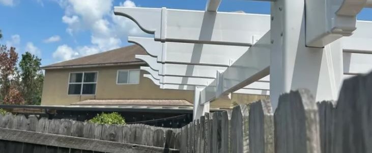
Physical inspection | Conduct a thorough physical inspection of your property. Look at the roofline and eaves to see if they extend beyond the property boundary. Check for underground features such as cellars or basements that might extend under neighbouring properties or public roads. Identify any projections, like awnings or balconies, that could extend beyond your property line. |
Consult local authority records | Local planning or building authorities maintain records that can be very informative. Look for building permits and zoning records, which may include notes on permissible projections or any recorded encroachments. Reviewing these documents can provide insights into whether any part of your property might overhang or project into neighbouring areas. |
Talk to neighbours and previous owners | Your neighbours might have valuable information about any known overhanging structures or projections. Discuss with them and, if possible, conduct joint inspections to mutually identify any potential issues. If you can contact previous owners, they might also provide historical context or documentation regarding any changes to boundary features. |
Examine historical and aerial imagery | Historical maps and photos can be helpful in identifying changes over time. Services like Google Earth offer historical imagery that can show how the property and its boundaries have evolved. Comparing these images from different time periods can help detect any visible changes in overhanging structures or projections. |
Indicators of overhanging or projecting features | Visible changes in landscaping, differences between the dimensions in current and previous surveys, and alterations in neighbouring properties can all indicate potential overhangs or projections. Regularly inspecting these aspects and keeping detailed records of any work done on your property will help maintain clarity regarding your property boundaries. |
Best practices | Maintain detailed records of all building plans, surveys, and inspections. Conduct regular boundary and structural surveys to ensure that any changes or additions are accurately documented. Communicate with neighbours and local authorities before making any modifications or additions to your property that might impact boundaries. If you discover any overhangs or projections, consulting with a legal professional can provide guidance on the necessary actions to address any encroachments. |
By reviewing property plans, conducting professional surveys, inspecting physical structures, consulting local records, and communicating with neighbours, you can accurately determine if any part of your property or buildings overhangs or projects under neighbouring properties or public land. Taking these steps ensures compliance with legal boundaries and helps maintain good relations with neighbours and local authorities.